Alan Godfrey Maps
Ashton-under-Lyne 1916
Code:
£3.50
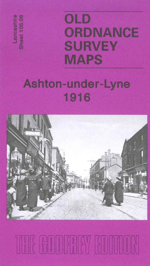
Godfrey Map Number 105.06. Ashton-under-Lyne 1916. 15 inches to 1 mile. Roughly half the map is taken up by Ashton Moss. The rest of Ashton is mainly made up of terraced, back-to-back housing. The Oldham, Ashton & Guide Bridge Junction Railway circles around the town to join up with L & Y Railway Ashton Branch. Main industry is cotton mills, plus iron works, water works, Ashton Gas Works and National Gas Engine Works.