Alan Godfrey Maps
Aspull (South) 1928
Code:
£3.50
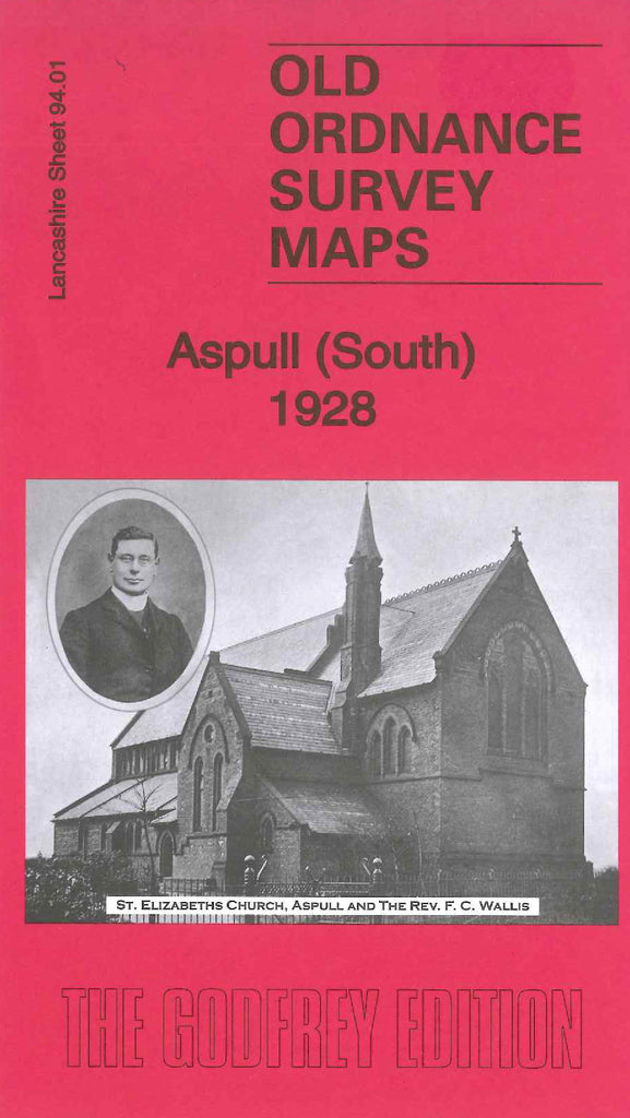
Godfrey Map Number 94.01. This map fits to the right of Wigan North 1907 (Code 3916). It shows mainly farmlands with few terraced and semi-detached houses at Top Lock, at bottom left hand corner of the map. Other groups of houses are along Bolton Road that runs diagonally across to the right of the map. It includes: Mineral Railway Lines, Leeds & Liverpool Canal (part), Marsh House Coke Works (Disused), Albion Iron Works at Top Lock, St. Elizabeth’s Church and a School on Bolton Road, and there is a picture of this church on the front of the map, also there is a list of the inhabitants on the back of the map. etc.