Alan Godfrey Maps
Tottington 1908
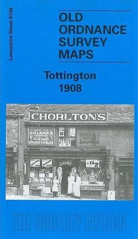
Code:This detailed map covers part of Tottington, NW of Bury, and links up with our group of Bury maps. The River Irwell runs up the east side of the map, with a section of the LYR railway, incl Olive's Siding. On the west side of the map is the company's Tottington Branch, incl Tottington and Green Mount stations. Part of Tottington village is shopwn, incl St Anne's church, Spring Mill, St John's church, Old Doctors, Quakers Field, Stormer Hill Bleach Works. Other features include Kirklees Mill, Kirklees, Tottington Mill, Knowles Siding, Green Mount, Brandlesholme Hall Farm, Brandlsholme New Hall, Wood Road. On the reverse we include a 1918 directory of Tottington, plus a 1914 railway timetable for the Bury to Holcombe Brook line. The map links up with Lancashire Sheets 87.08 Bury NW to the south.