Alan Godfrey Maps
Lamberhead Green & Orrell Mount 1907
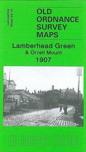
Code:This highly detailed map covers the western part of Pemberton, including Lamberhead Green, and parts of Orrell and Winstanley. Coverage stretches from Enfield Street westward to Orrell station, and from Orrell Mount southward to Rylance Mill. Features include a stretch of the Lancashire & Yorkshire Railway (Orrell station is split by the west margin), Winstanley Colliery Railway, Favourite Pony Dick inn, Rylance Mill, moat of Winstanley Hall, Orrell Brick Works, Edge Wood Hall, Orrell Mount, Orrell Council Offices, Orrell Lodge, St John's church, Lamberhead Green area, St Matthew's church Highfield (split by east margin), Rose Hill area, tramways and depot, Duke's Woods, old shafts, Highfield Farm, Highfield House, Sumner's Hall, Pingot House etc. On the reverse we include a directory of Orrell in 1918. The map links up with sheets 93.06 Orrell Post to the north, 93.09 Upholland South to the west, 93.11 Pemberton to the east, 93.14 Winstanley to the south.