Alan Godfrey Maps
Stoneclough & Ringley 1907
Code:
£3.00
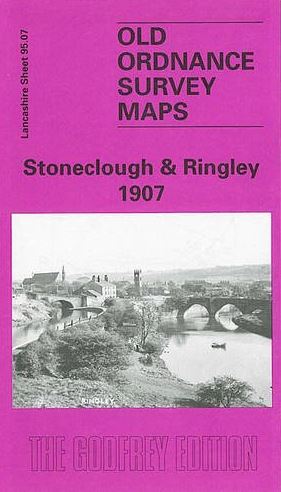
Detailed map of Stoneclough; Lancashire sheet 95.07. Introduction by Nick Burton. This detailed map covers the villages of Stoneclough, Ringley and Prestolee, just east of Farnworth. The River Irwell snakes through the map and features include St Saviour's church Ringley, Ringley Fold, Ringley Wood, disused Ringley Colliery, Shore Top Farm, Ringley Bridge, Kearsley station, Kearsley Pool Farm, Market Street, Kearsley Vale House, Kearsley Paper Works, Irwell Bank Mills, Kearsley Mill, Ash Clough, Manchester Bolton & Bury Canal. A 1918 directory of Kearsley is included on the reverse.