Alan Godfrey Maps
Tyldesley & Atherton (SE) 1905
Code:
£3.50
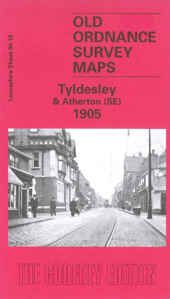
Godfrey Map Number 94.16. Lancashire: Tyldesley & Atherton (SE) 1905. Fits to the side of Atherton (SW) 1906 (3918). Tyldesley sits at the bottom of the of the map surrounded on three sides by railways with Shakerley Colliery (Nelson Pit) to the east. There are two other collieries as well as clay pit and brick works, cotton mills and tar works. The SE of Atherton is in the NS corner of the map.