Alan Godfrey Maps
Warrington 1905
Code:
£3.50
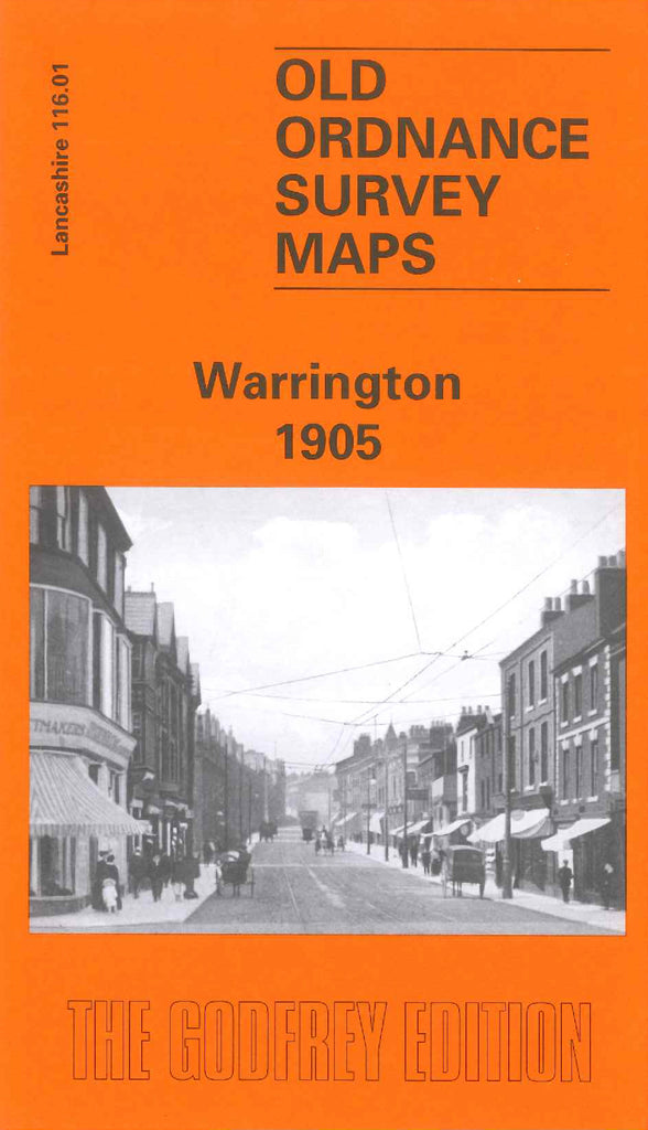
Godfrey Map Number 116.01. Lancashire: Warrington 1905 (15 inches to 1 mile). This, the second of the Warrington maps, fits on the right hand side of Code 3338 Warrington West. It includes: Central Railway Station; River Mersey; Tannery, Tanners Lane; Cockhedge Cotton Mill; Wire Works, Church Street; Girls Training College, Church Street; Howley Saw Mills; Holmesfield & Howley Tanneries; St.Elphin’s Church; St. James’s Church; Football and Cricket Fields; Latcbford Grange; etc.