Alan Godfrey Maps
St Helens (SE) (including Ravenhead & Peasley Cross) 1906
Code:
£3.50
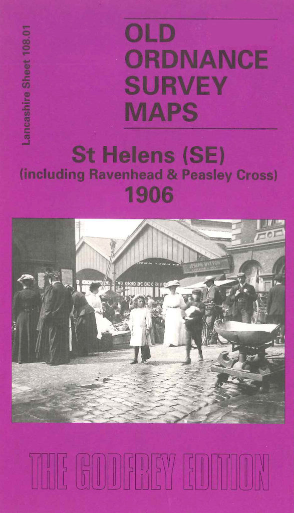
Godfrey Map Number 108.01. Lancashire: St Helens (SE) 1906 (15 inches to 1 mile) . Swirling railway lines rightly dominate this map, curving over land which 60 years earlier had been largely agricultural, pockmarked here and there by former and existing coal pits, with occasional houses set near its roads. Includes: Peasley Cross; Parr Stocks; St. Helens Sheet Glass Works; St Helens Hospital, Marshall Cross Road; L&NWR St Helens Railway Line; St Helens Canal; etc.