Alan Godfrey Maps
Warrington (West) 1905
Code:
£3.50
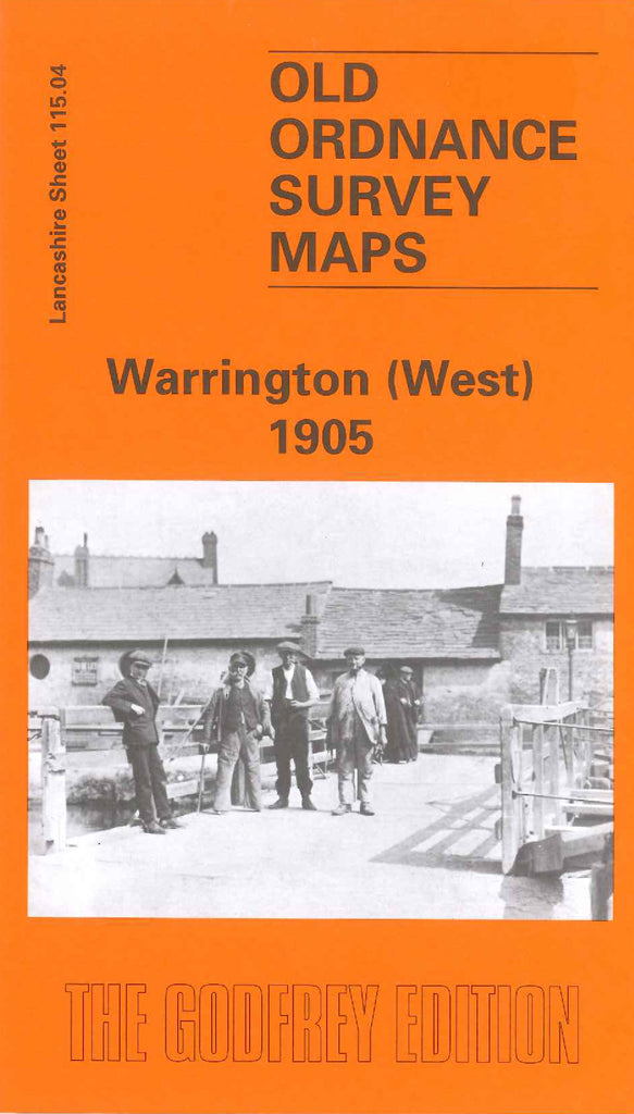
Godfrey Map Number 115.04. Sankey Brook flows down the centre of the map to the bottom, The main housing is to the right, to the left mainly open farmlands, with a small number of houses in the Sankey Bridges area. It includes: Sankey Wire Mills, Mersey White Lead Works, L.& N.W.R. Railway Warrington & Garston Line, River Mersey (part), St. Luke’s Church Liverpool Rd.,Warrington Union Workhouse Lovely Lane, St. Paul’s Church off Walker St., Bank Quay Soap Works, Bank Quay Cable & Rubber Works, etc.