Alan Godfrey Maps
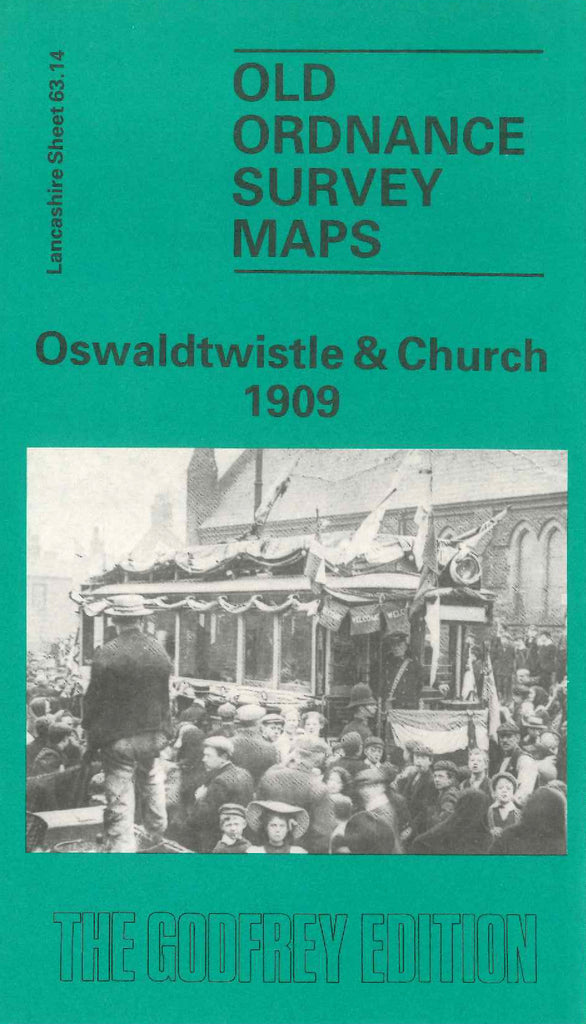
Oswaldtwistle & Church 1909
Code:
£3.50
Godfrey Map Number 63.14. This map fits to the left of the map of Accrington 1909 (Code 3301). About a third of the map is highly populated with mainly terraced houses, Blackburn Road runs from left to right across the map, on the outskirts the land is open & includes a large Golf Course. It includes: West End, Stanhill, Foxhill Bank, Colt Holme, Spring Hill, Church Cricket Ground, Stanhill Ring Spinning Mill (Cotton), Leeds & Liverpool Canal, L.& Y.R.Railway, White Ask Brook, Tinker Brook, White Ash Paper Mill, St. Andrews School Kay St., Other Cotton Mills, etc.