Alan Godfrey Maps
Withington 1892 (Coloured Edition)
Code:
£4.00
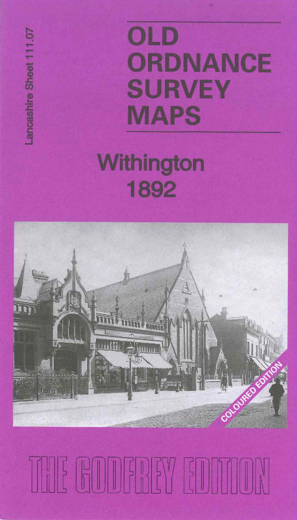
This is a coloured version of the area covered by the map of Withington & Burnage 1916 (Code 3119). The part of what is now Burnage is not shown on the 1892 map and parts of the Withington Estate on either side of Palatine Road did not exist in 1916 it was mainly farmlands. This map shows: Terraced, Semi and detached houses, a Bowling Green, Police Station, St. Paul’s Church, The main road Palatine Road runs from top to bottom on the left of the map. Also includes: Withington Hall, St. Margaret’s Church in the small district of Burnage. On the reverse side of the map is a list of residents extracted from Slater’s Directory c. 1903. The buildings are coloured in Red, streets and roads in Beige, water is Blue and trees Green.