Alan Godfrey Maps
Farington (South) & Leyland (North) 1909
Code:
£3.50
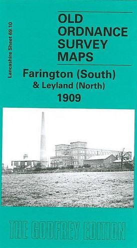
This detailed map covers the southern part of Farington and northern part of Leyland. Coverage stretches from Leyland station northward to Throstle's Nest Farm, and from Lydiate Farm westward to Farington Corn Mill. Features include Lower Farington Hall, part of Leyland station (bottom margin), Farington Mills, Moss House, Farington Lodge, Farington House, High Ash. A 1918 directory of Farington is included on the reverse, together with a 1914 railway timetable for the Manchester to Blackpool/Fleetwood line. The map links up with Sheet 69.06 Lostock Hall to the north, 69.14 Leyland to the south.