Alan Godfrey Maps
Golborne 1906
Code:
£3.50
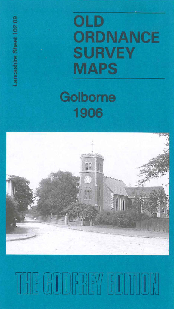
Godfrey Map Number 102.09. This map fits to the right of the map of Haydock Park 1906 (Code 3996). The main part of Golborne covers only one fifth on the left hand side of the map and shows terraced, semidetached and detached housing. There is also housing along each side of Lowton Road and Cross Lane in the Lowton area in the centre of the map, the rest of the map is farmlands. It includes:-Golborne Colliery, All Saints RC Church, St. Thomas’s Church, Parkside Mills (Cotton), London & North Western Railway, St. Luke’s Church, Sovereign Confectionary Mills, Garton Common, etc. On the reverse side of the map is a list of residents, private and commercial. (Extracts from Slater’s Directory of Lancashire 1918).