Alan Godfrey Maps
Stockport (South) 1907
Code:
£3.50
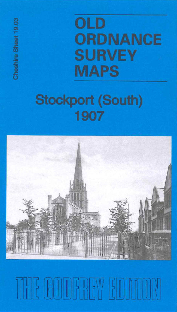
Godfrey Map Number 19.03. Cheshire Sheet 19.03 - Stockport (South) 1907. Fairly heavily populated area. Includes: Wellington Rd. South; Borough Cemetery; St Georges Church; Davenport Terra Cotta Brick & Tile Works; L&NWR Crewe & M/C Line runs north to south, and Stockport Junction Line, west to east; Edgeley Park; Edgeley House, and the Football Ground, centre left of the map; etc.