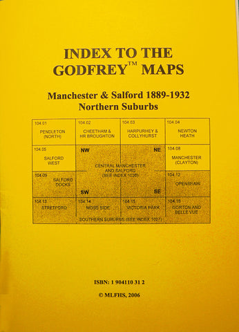
Alan Godfrey Maps
Manchester (SE) 1915
Code:
£3.50
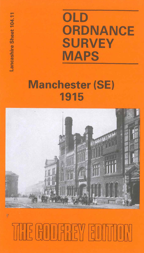
Godfrey Map Number 104.11. Manchester (SE) 1915. Bounded by Barmouth St. Ashbury Works and Union Iron Works to east, Oxford Rd. Sackville St. and Manchester City Police Courts to west. Dale St. canal basin, Mill St. Pollard St. and Hassop St. to north. Stockport Rd. runs south as does the L&NWR. Crewe & Manchester Line. Main area is Ardwick crossed by numerous railway lines and sidings --- London Rd. Mayfield and Ancoats Goods Stations. Manchester City Football Ground is sandwiched between the railway and Bennett’s Sidings. This is a heavily populated area with terraced houses alongside various mills and works.