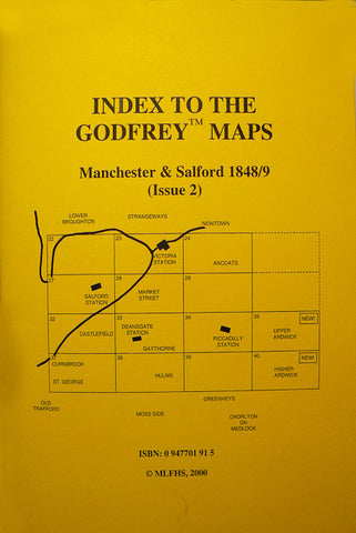
Alan Godfrey Maps
Manchester Victoria 1849
Code:
£3.50
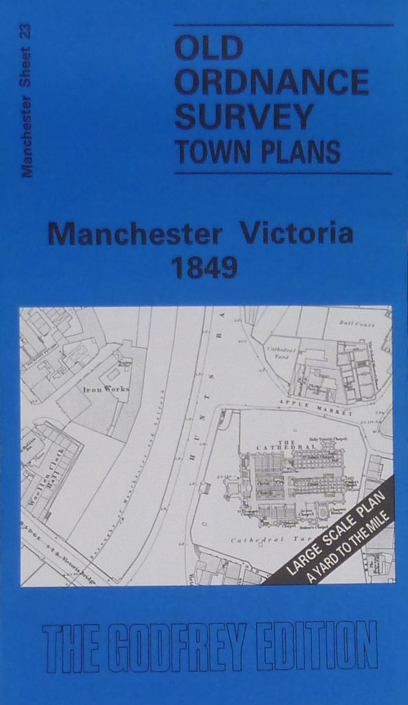
Godfrey Map Number 23. Manchester Victoria 1849. 36 inches to 1 mile. The River Irwell, the boundary between Manchester & Salford runs roughly north to south down the middle of the map, with various mills and works along the Salford side, while on the Manchester side timber yards, wireworks and a tannery are neighbours of Manchester Cathedral, the Collegiate Church. Victoria Railway Station, with Walkers Croft Cemetery to the south.Manchester Union Workhouse to the north, is prominent to the right of the map. The area is intensely populated with cellar dwellings, back to back houses and courts inhabited by the poorest of the city.