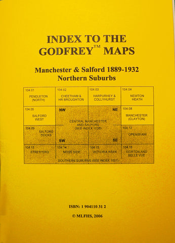
Alan Godfrey Maps
Middleton (North) 1915
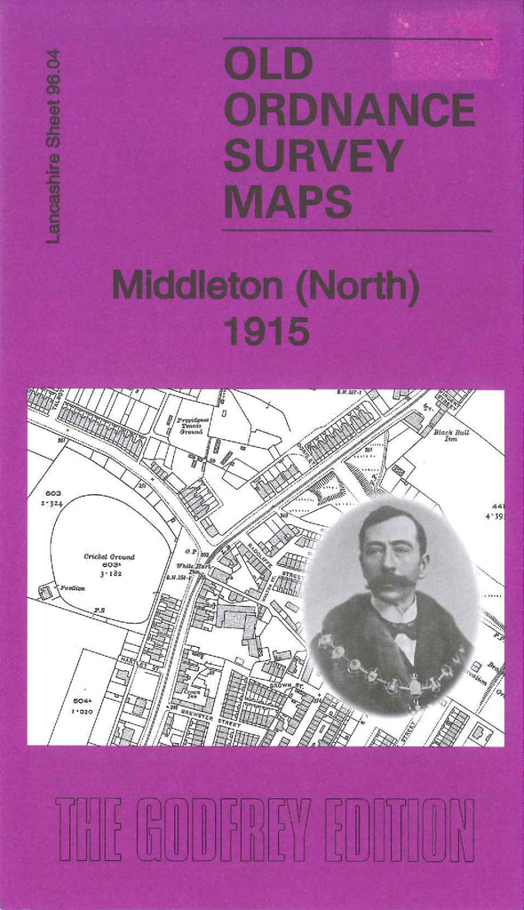
Code:Godfrey Map Number 96.04. This map fits above the recently published map of Middleton 1915 (Code 3147). The main housing area is at the bottom left corner of the map, the remainder of the map is farmlands.The housing area continues from the Band Stand (Jubilee Park) and St. Leonard’s Rectory on Long St., joining on to Rochdale Rd., towards the North Ward, there is a tramway running along this road. It includes: Hollin Lane, Boarshaw Rd., Higher Boarshaw, Stanycliffe. Acres, Higher & Lower Touchethall. Also includes: Rochdale Canal, L.&Y.R. Manchester & Normanton Lines, Boarshaw Cemetery, Phoenix Bleach Works, Boarshaw Bleach Works, Cricket Ground off Hollin Lane, etc. On the reverse side of the map is an A to O Commercial list including shopkeepers, manufacturers, mills, inns, businesses, etc. (from Kelly’s Directory 1918). Like many of the Alan Godfrey maps, on the reverse side there is a lengthy description on the history of Middleton from the early 1400s