Alan Godfrey Maps
Higher Blackley 1906
Code:
£3.50
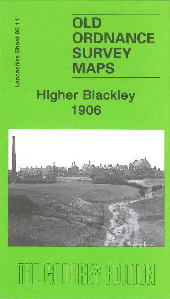
Godfrey Map Number 96.11. Higher Blackley 1906 (15” to 1 mile).
This map fits to the right of Heaton Park 1907 map (Code 3356) It shows mainly farm lands. In Higher Blackley includes: St Andrew’s Church, and Terraced Housing in Crab Lane. Also includes:- Pike Fold Cottages, Plant Hill, Victoria Avenue runs across the map and meets Rochdale Road. Rochdale Road runs down the map from Middleton to Blackley Rectory in Moston. Etc.