Alan Godfrey Maps
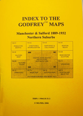
Manchester (Clayton) 1932
Code:
£3.50
Godfrey Map Number 104.08. 15 inches to 1 mile. Fits above Openshaw (3114) and between Manchester NE (3121) and Droylsden (3107). Covers from Philips Park Sidings and Park Engineering Works in NW, Clayton Bridge in NE, Forge Lane and Ashton New Road in SW and Manor Road in SE. Philips Park Cemetery and Philips Park cover a large area. Also prominent are Clayton Hall, Clayton Smallpox Hospital and St Cross church.