Alan Godfrey Maps
Salford (West) 1916
Code:
£3.50
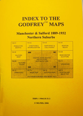
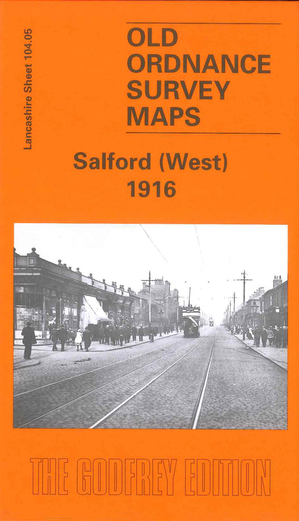
Godfrey Map Number 104.05. Salford (West) 1916. Fills in the blank spaces in the Salford part of the Manchester & Salford areas. The map fits between Pendleton North 1889 and Salford Docks 1905. As will be realized this area is very highly populated with mainly terraced houses included in Seedley, Langworthy, St Paul’s and St. Thomas Wards. Includes: Brindle Heath, Pendleton, Wallness, New Windsor, part of the Crescent. Also includes: Public Baths, Mission Hall & Bowling Green on Derby Road; St. Luke’s Church, St. Luke’s Rd; Seedley Bleach Works; Seedley Station; St. Ambrose’s Church, Liverpool St; St Barnabas Church & School, Frederick Rd; Gas Works, Albion St., and various cotton mills,etc.