Alan Godfrey Maps
Bury (West) 1908
Code:
£3.50
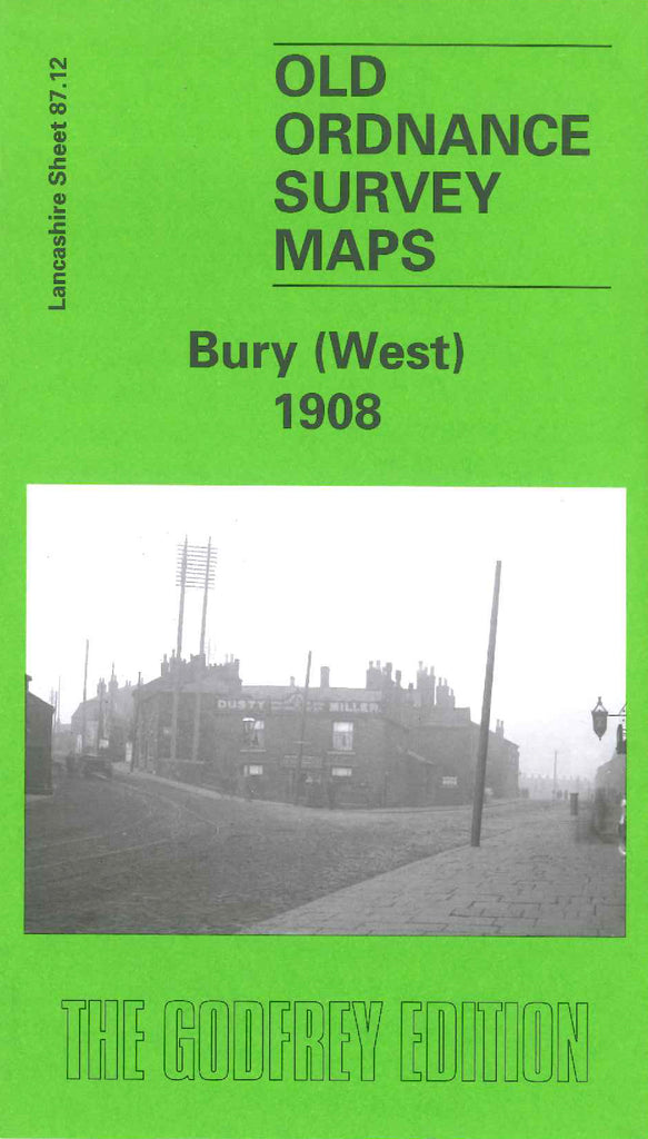
Godfrey Map Number 87.12. Lancashire: Bury (West) 1908. Continuing with the Bury Area, this map fits to the left of Bury 1908 map (Code 3312). The map shows a large area of farmland, the part along the River Irwell is well populated with mainly terraced housing. It includes: Lower Croft Mill (Bleaching, Dyeing, Printing & Finishing); Starling; Elton; Wellington Barracks, Bolton Road; Florence Nightingale Hospital (Infectious Diseases); various cotton mills; Lower Hinds; etc.