Alan Godfrey Maps
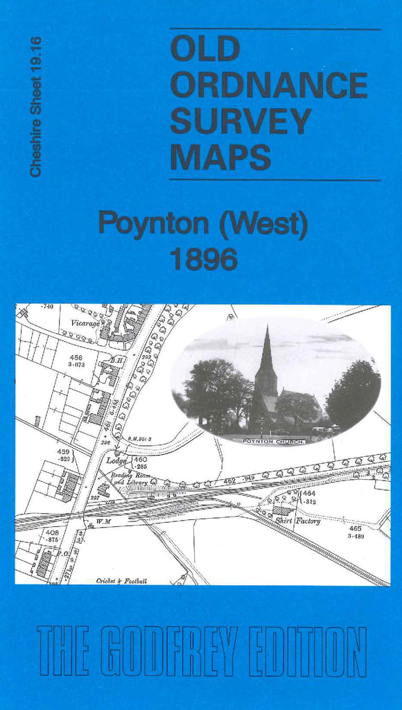
Poynton (West) 1896
Code:
£3.50
Godfrey Map Number 19.16. The map is mostly fenced off farmlands with some wooded areas. The main town is in the bottom right hand corner of the map with a few terraced houses on either side of Park Lane and a few on the London Rd. It includes:- Poynton Brick Works, Gas Works and Railway Station, Poynton Brook, L & N.W.R. Railway Macclesfield Branch, St. George’s Church, Wig Wam Wood, Mineral Railway Lines, Cricket & Football Field, Shirt Factory, etc.