Alan Godfrey Maps
Gatley 1897
Code:
£3.50
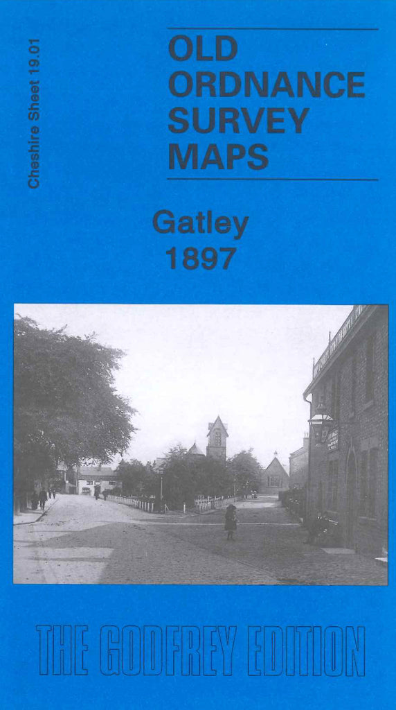
Godfrey Map Number 19.01. Gatley 1897. This map has an extended part of the area on the reverse side of the map. It fits to the left of the Cheadle & Cheadle Heath 1897 map (Code 3433). It shows mainly farmlands, and part of the L.&N.W.R. Warrington & Stockport Railway Line. It includes:- part Royal Green; Rose Hill; Northenden Railway Station; Sharston Mount; Gatley; Cheadle Bleach Works; Barns Convalescent Hospital; St Mary's Church, off Hall Street; St Jame's Church, off Church Road; etc.