Alan Godfrey Maps
Bredbury (West) & Brinnington 1907
Code:
£3.50
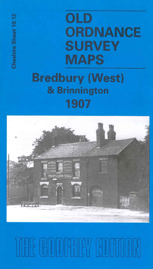
Godfrey Map Number 10.12. Bredbury (West) & Brinnington 1907. 15 inches to 1 mile. The main feature of this map is the triangle formed by the Great Central & Midland Joint Railway, Cheshire Lines Railway and G.C. & M. Joint Railway, Portwood or Brinnington Branch. Bredbury is tucked away in the bottom righthand corner around Stockport Road West and Lower Bents Lane. There is some industry: Brinnington Brick & Tile Works, Bredbury Steel Works & Rolling Mills, an iron and brass foundry, brick works, a cotton spinning mill and Lingard Lane Collieries.