Alan Godfrey Maps
Romiley 1897
Code:
£3.50
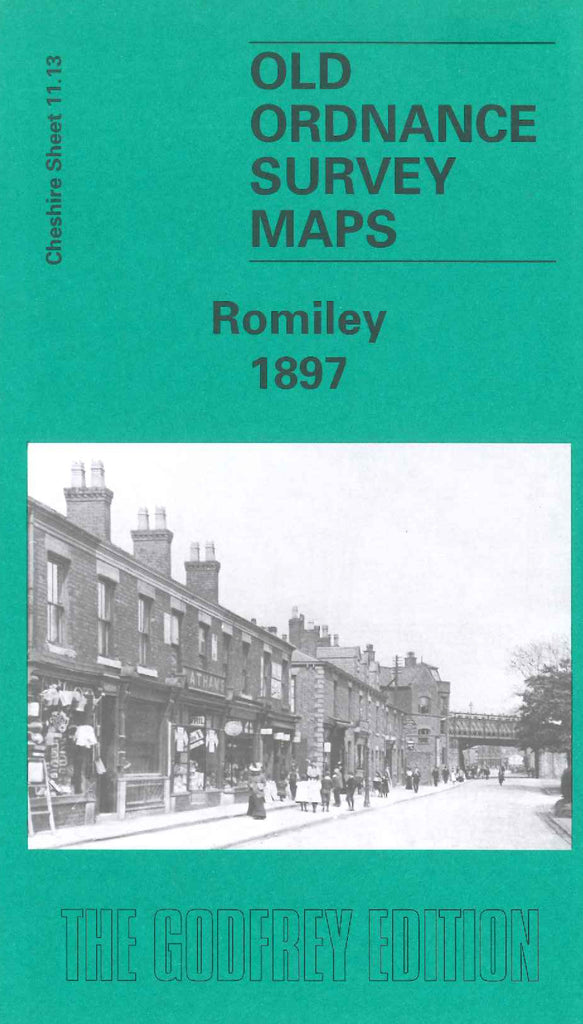
Godfrey Map Number 11.13. Shows mainly farmlands and wooded areas, with few houses along Stockport Rd, and Compstall Rd., and on the outskirts of Romiley. The Sheffield & Midland Railway runs diagonally down the map. It includes the River Goyt, Peak Forest Canal, Bredbury House, Hatherlow, Bunkers Hill, Spring Water Dye Works, Hat Manufactury, St.Chad’s Chapel, etc.