Alan Godfrey Maps
Rock Ferry & New Ferry 1898
Code:
£3.50
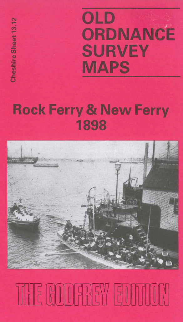
Godfrey Map Number 13.12. This map fits below the map of Tranmere & Oxon 1909 (Code 3419). It shows the River Mersey (part), L.& N.W.& G.W.J.R. Birkenhead railway line, terraced, semi & detached houses, some open lands & tree areas. It includes: Royal Rock Hotel, Rock Park, New Ferry Hotel along the Esplanade. Also includes: St. Anne’s Church R.C. and Convent Highfield Rd., St.Peter’s Church on St.Peter’s Rd., The Dell, Woodhey, Great Eastern Picnic Hotel New Ferry Rd., Port Sanitary Hospital , etc.
On the reverse side is the continuation, fits on the left side of the map. It shows some terraced, semi and detached houses, and large areas of farmlands, also St. Stephen’s Church Reservoir Rd., Wirral College Bebington Rd.,