Alan Godfrey Maps
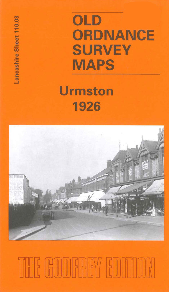
Urmston 1926
Code:
£3.00
Godfrey Map Number 110.03. Urmston 1926. 15 inches to 1 mile. Fits between 3943 Flixton 1904 and 3379 Stretford 1904. It is bisected by the Cheshire Lines Railway, to the south of which lie Shawe Town and Shawe Hall. Urmston has a cottage hospital, cotton mill, saw mill, cricket ground, a cemetery and various churches--St Clements, Roman Catholic, Baptist and Wesleyan Methodist.