Alan Godfrey Maps
Worsley 1904
Code:
£3.00
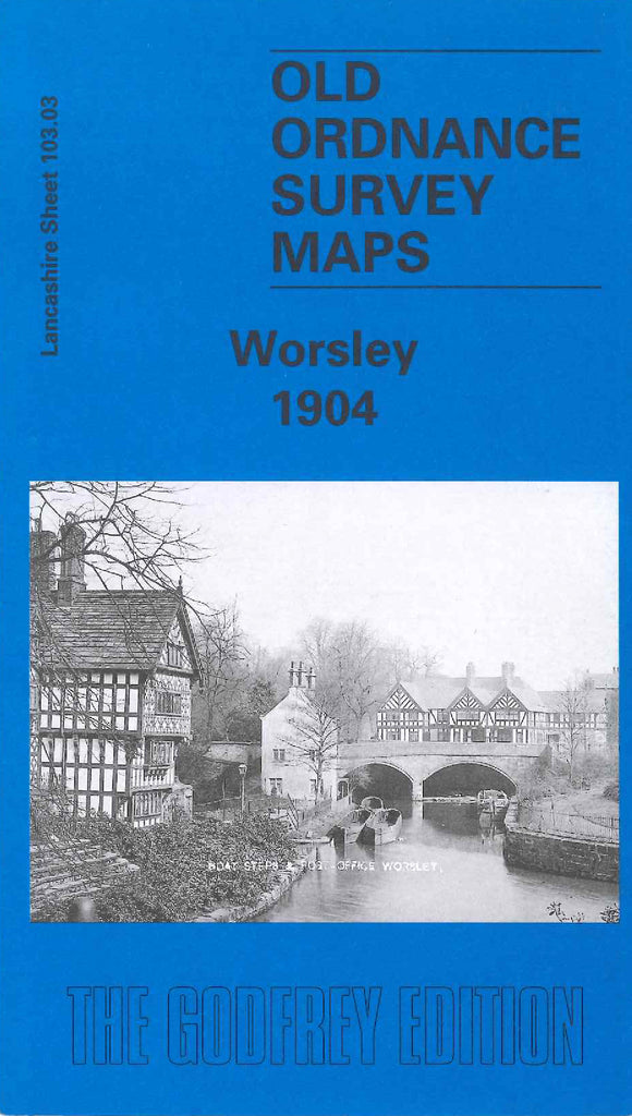
Godfrey Map Number 103.03. Lancashire: Worsley 1904. Fits to the left of Swinton Park (3351) and below Wardley (3378). Mainly a rural area with Wardley and the Bridgewater Canal in the bottom left corner and the small residential areas of Hazlehurst, Moorside and Sindsley centrally placed. Broadoak Park is at the south of the map. Bridgewater Colieries Railway and the L&NWR Eccles, Tyldesley & Wigan line run north to south and NW to SE.