Alan Godfrey Maps
Stalybridge 1897
Code:
£3.00
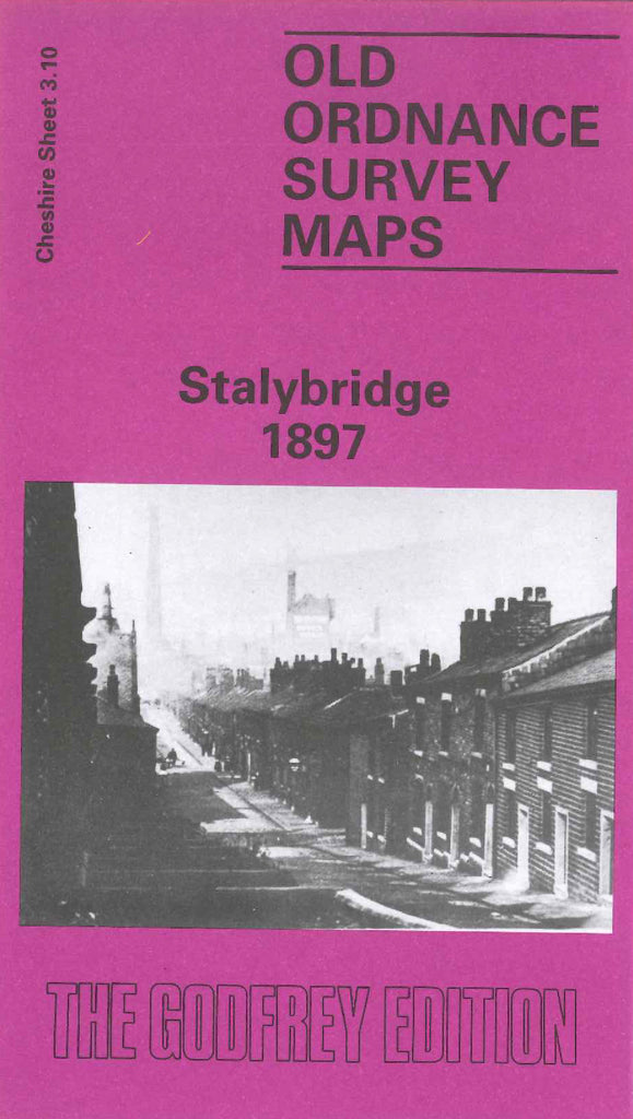
Godfrey Map Number 03.10. This map fits to the right of the map of Ashton & Dukinfield 1907 (Code 3427). It shows a highly populated town of mainly terraced houses and buildings, with a few semi-detached houses along Mottram Road. It includes: L.& N.W.R. Stalybridge & Saddleworth Railway Loop Line, River Tame, various Cotton Mills, Paper Mill, Stamford Park (part), New St.George’s Church Cambridge St., Cocker Hill, Waterloo, Copley, Spring Bank, Castle Hall, Globe Iron Works Bayley St., St.Paul’s Church Huddersfield Rd., etc.