Alan Godfrey Maps
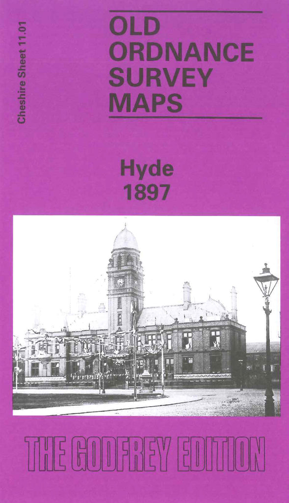
Hyde 1897
Code:
£3.50
Godfrey Map Number 11.01. One side of the map shows the main town of Hyde, the reverse side fits below this as the continuation of the Werneth Ward. The Hyde map shows the River Tame, Sheffield & Midland Joint Railway, Peak Forest Canal, Floweryfield & Kingston, part Newton & part Werneth Wards. Also Includes: various Cotton Mills, Newton Bank Bleach & Print Works; Iron Foundry, Coal Pit & Canal Iron Works off Manchester Rd., The other side of the map is Werneth Ward, shows open farmlands, terraced houses in top right hand corner.& St. George’s Church & Grave Yard. It includes: the River Tame, Sheffield & Midland Joint Railway & Cheshire Lines Railway, Peak Forest Canal, various Cotton Mills, Unitarian Chapel & Burial Grd Knott Lane, etc.