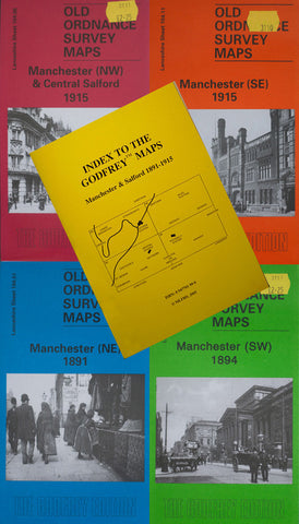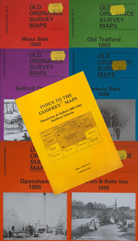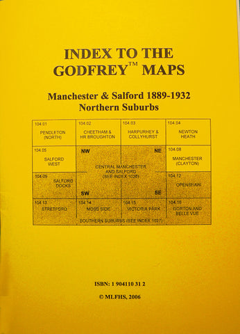
Alan Godfrey Maps
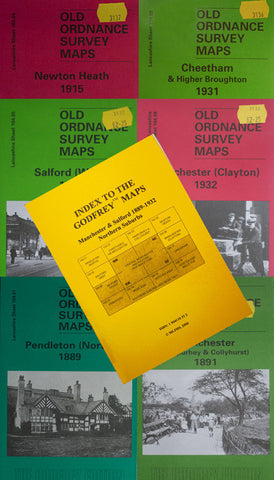
Pendleton (North) 1889
Code:Godfrey Map Number 104.01. Lancashire: Pendleton (North) 1889. ‘Pendleton was a rapidly developing part of industrial Salford, some three miles north of Manchester; it had been a separate township until 1853. Much of the area is close to the River Irwell, and the area was prone to flooding. The height of the banks is shown as low as 97 feet above sea level near Douglas Green, whilst much of Whit Lane lay below 115 feet. Serious flooding occurred every few years, and there were particularly severe floods in 1866 which resulted in the erection of an obelisk with a mark indicating the height of the flood, a short distance down-stream in Peel Park.’ The map includes: Agecroft Colliery, Print Works, Kersal Cell, Castle Irwell, Summerville, Higginson’s Brow, St. George’s Church on Whit Lane, Douglas Green and part of Charlestown, etc.