Alan Godfrey Maps
Stand & Outwood Gate 1907
Code:
£3.00
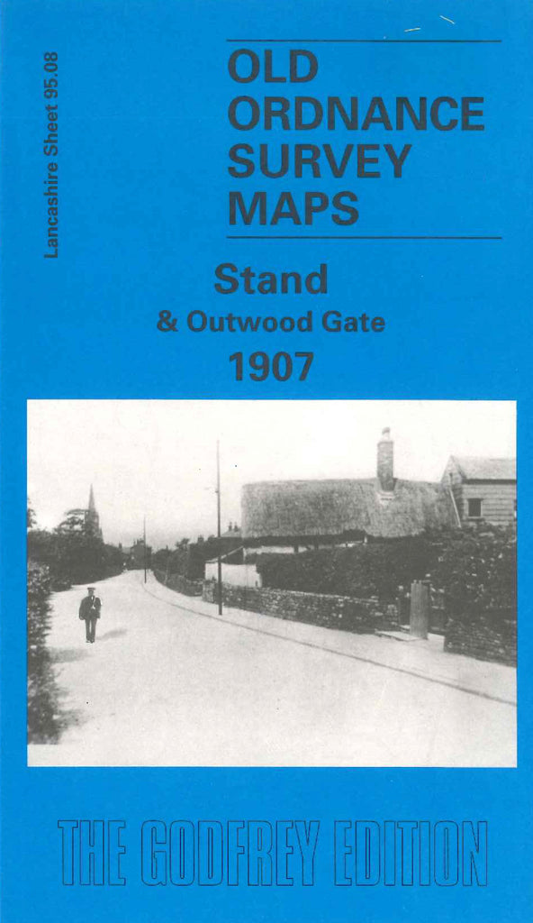
Godfrey Map Number 95.08. Lancashire: Stand & Outwood 1907. This map shows mainly farmland but includes: Clifton; Accrington & Colne Railway Line, Outwood Colliery; Outwood Gate, Lower Heaps; Hurst Farm; Outwood Gate, Clarke’s Hill; Chapel Field; St John’s Mission Church, Beech Street; Park Lane Farm; Stand; Old Hall; etc.