Alan Godfrey Maps
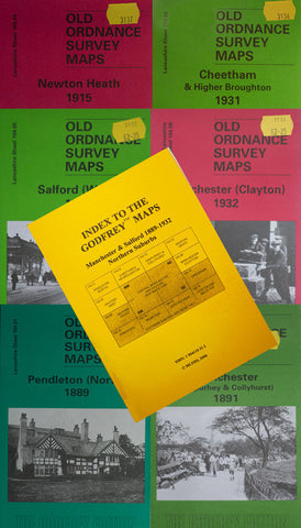
Manchester (Harpurhey) 1891
Code:
£3.50
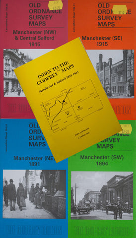
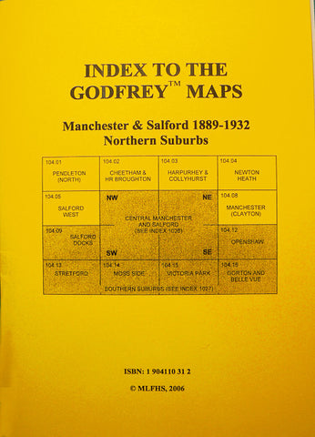
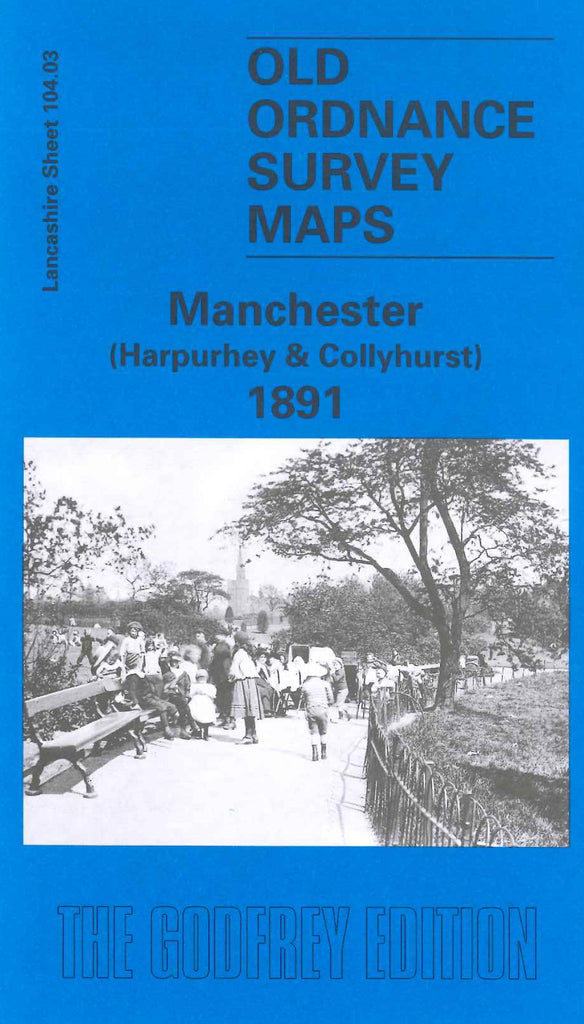
Godfrey Map Number 104.03. Lancashire: Manchester (Harpurhey & Collyhurst) 1891. Rochdale Road runs down the centre of the map from Pickering Street, Harpurhey to Brydonville Street, Collyhurst. Includes: Queen’s Park Cernetery, Monsall Hospital; Miles Platting Railway Stn.; Moston Bottoms; St.Luke’s Church, Smedley; St Augustine’s Church; etc.