Alan Godfrey Maps
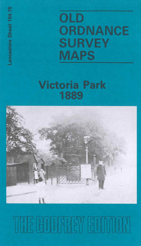
Manchester (Victoria Park) 1889
Code:
£3.50
Godfrey Map Number 104.15a. This map fits to the right of map Moss Side 1889 (Code 3118). It shows a heavily populated area of terraced housing and some with gardens. Oxford St., Wilmslow Rd, Upper Brook St., Plymouth Grove & Stockport Rd., run from top to bottom. It includes: Chorlton on Medlock, Green Heys (part), Manchester High School (Girls) off Rumford St., St. Joseph’s Boys’ Industrial School off Albert Rd., St. Joseph’s Girls’ Industrial School off Victoria Rd., Birch Fields (part), Longsight (part), etc.