Alan Godfrey Maps
Manchester (SW) 1894
Code:
£3.50
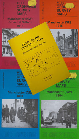
Godfrey Map Number 104.10. Manchester (SW) 1894. Covers the area south-east of city centre. Manchester Royal Infirmary is at the top right corner. Salford Goods Station is left of centre at top. Castle Field Wharves are in the middle. River Irwell flows north to south-west joining the Manchester Ship Canal below Hulme Foot Bridge. Central Railway Station is on Windmill St. behind The Free Trade Hall. The lower half of map covers Hulme -- a highly populated area with streets of terraced houses. There are numerous works and mills, and the Cavalry Barracks is at the bottom of the map.