Alan Godfrey Maps
Bispham & Norbreck 1909
Code:
£3.00
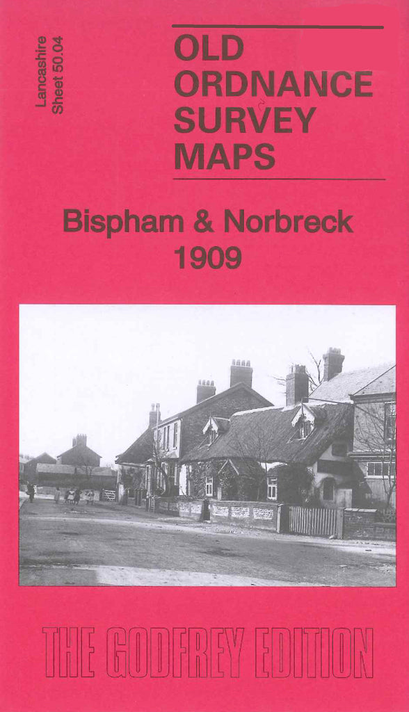
Godfrey Map Number 50.04. Bispham & Norbreck 1908 Lancashire 15 inches to 1 mile. Although the front of the map says 1908, there are three maps, two dated 1912 and one dated 1932. The 1932 map shows a large increase in the number of houses in Bispham. It includes the tram lines all along the sea front (Promenade). The map fits below the map of Thornton Cleveleys 1910 (Code 3945) and above map Blackpool N Shore 1910 (Code 3948). It shows part of Northcliffe Road & Chatsworth Avenue down to Holmfield Road & Duchess Drive. Also includes:- Bamber’s Farm & a School on Red Bank Road, Congl. Church Cavendish Road, Miners’ Convalescent Home, Meth.Ch. (Wes.)Beaufort Avenue, etc.