Alan Godfrey Maps
Barrow in Furness (NW) 1911
Code:
£3.00
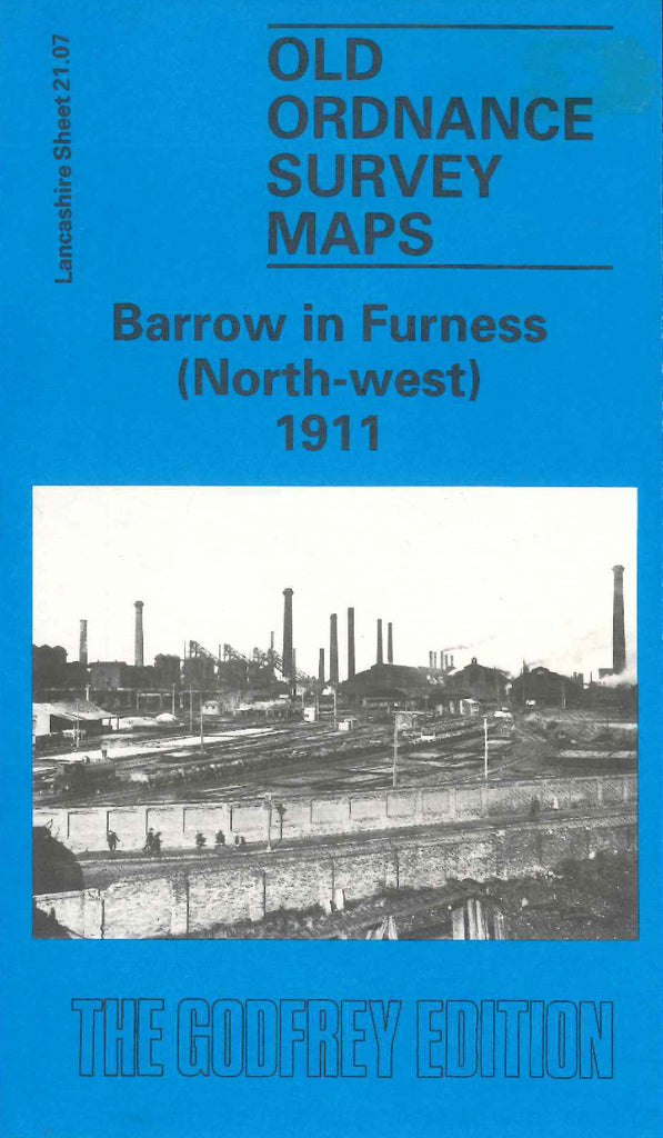
Godfrey Map Number 21.07. This map fits to the left of the map of Barrow in Furness (North-east) 1911 (Code 3304). About a third shows fenced open lands to the left of the map, down the centre is Walney Meetings (North & South Currents meet here), Sands, the Furness Railway. To the right of the map shows terraced houses. It includes: Barrow Haematite Iron & Steel Works, North Scale, Hindpool Brick & Tile Works, Cemetery (part), British Griffin Chilled Iron Works, Steel Hoop & Wire Works, St.James’s Church Blake St.